
One month before the first resorts open, the mountains are getting a dusting. From this Tuesday, 20 October, a disturbance coming from Italy is set to drop fresh snow on the Alps, with amounts that could reach 40 to 50 centimetres on the best-exposed summits.
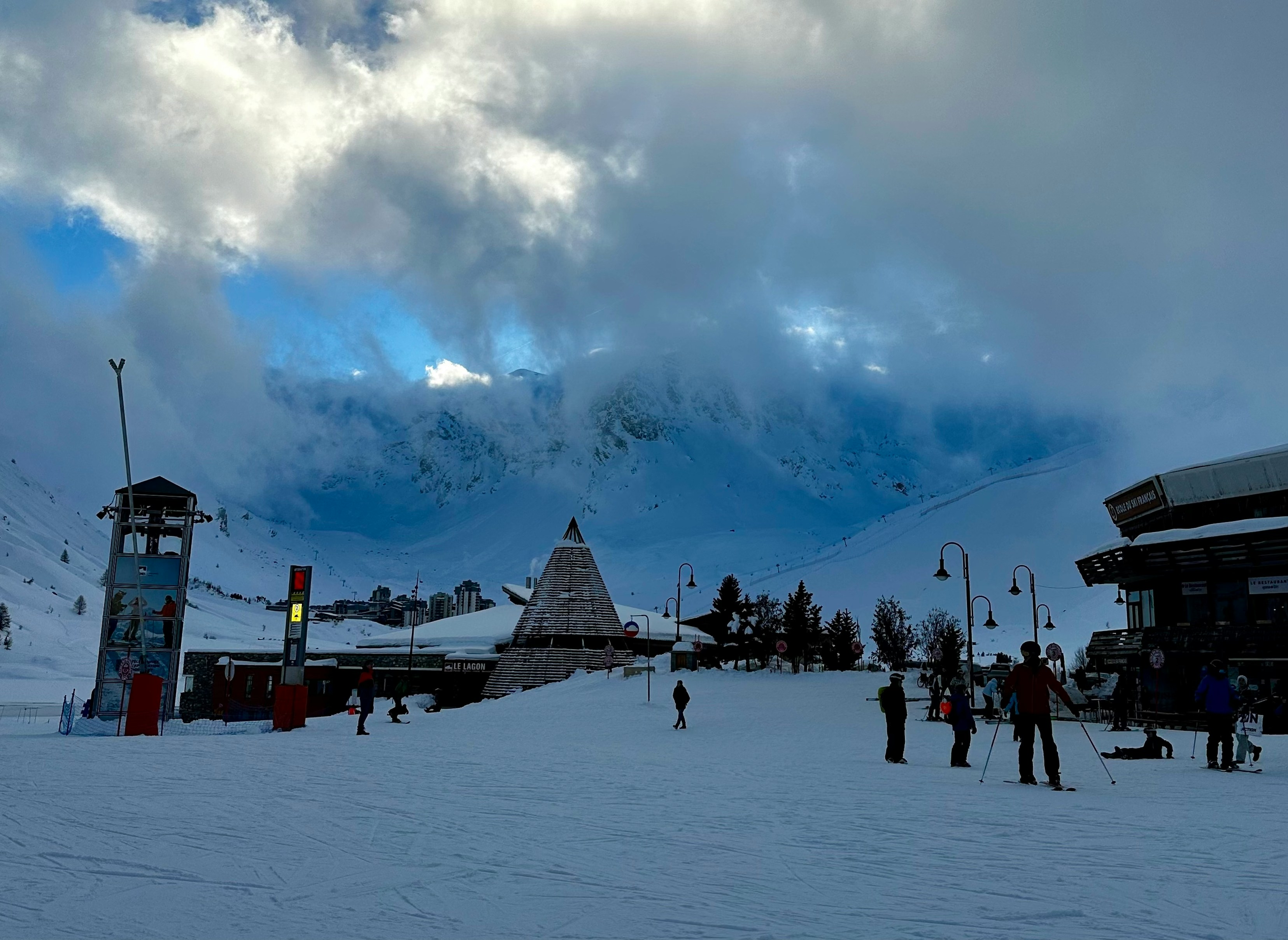
Key points: snow expected from Tuesday 20 October · rain-snow line around 1,600–1,700 m · modest totals below 2,000 m · up to 40–50 cm on the highest exposed summits.
Where does this snow come from?
It all starts with a cut-off low nicknamed 'Adam', which is crossing Europe at the start of the week. On Monday it triggered a Mediterranean episode in south-east France: Gard, Hérault and Lozère were placed on orange rain-flood alert by Météo-France.
From Tuesday, the system slides towards Italy. It's this shift that sets off the familiar easterly airflow over the Alps.
How does an easterly airflow work?
When a low deepens over the Gulf of Genoa, the wind rotates around it anticlockwise. Air laden with moisture from the sea then travels north across the Po Valley, up to the foothills of Piedmont. Running into the mountains, it releases its moisture as rain or snow over the ranges close to the border.
As a result, it's the areas open to the east and to Italy that receive the most precipitation, not necessarily those that usually benefit from westerly flows.
How much snow, and how far up?
According to forecasts from La Chaîne Météo, the rain-snow line should sit around 1,600–1,700 metres. Below 2,000 metres, totals will remain modest. Above that, amounts climb: between 40 and 50 centimetres of fresh snow are forecast on the highest summits of the most exposed areas.
In other words, low and mid-altitude resorts will mostly see rain, while high-altitude ski areas, the ones that open first, can hope for a decent first layer.
Does this change opening dates?
Not directly. An October snowfall doesn't make a season: it rarely lasts long on ground that is still warm, and resorts rely mainly on artificial snow and November snowfall. In our calendars, the first Alpine openings are still set around 21 November (Tignes, Val Thorens). On the Nordic side, the start of the season is mentioned for 31 October at Bessans, in Haute-Maurienne.
It is, however, a good sign for the glaciers and high ski areas, whose snow cover gets going earlier.
Our tips for the week
- Hiking or outings at altitude: fresh snow on bare ground can be unstable and hide the terrain. Check the local forecast and go out without taking risks.
- To follow the snowpack: check our Snow conditions page, which brings together conditions resort by resort.
- To plan the season: find the 2026-2027 opening calendar and our guide to skiing on the glaciers from October.
Want an alert as soon as it snows heavily? Turn on SnowFinder notifications from the ☰ menu at the top of the page.
Sources: Le Dauphiné Libéré (19 October 2026), Météo-France, La Chaîne Météo.